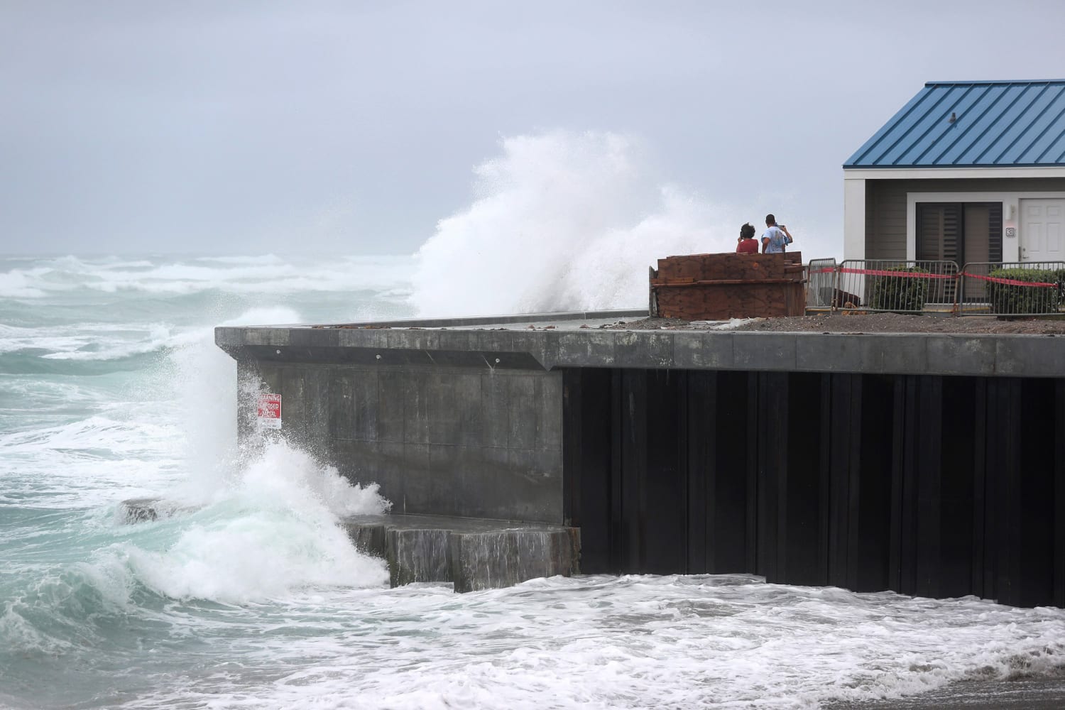
Hurricane Isaias approached the Carolinas as a Category 1 with winds reaching 85 mph. The storm has caused flooding and damaged homes as it hit towns in both North and South Carolina. The storm is then forecast to bring torrential rain, flash flooding and storm surge up the East Coast, as well as dangerous winds to the Northeast.
Hurricane warnings have been issued for parts of the Carolinas and tropical storm alerts stretch from Florida to New England as the storm approaches northeastern South Carolina and southern North Carolina. North Carolina Gov. Roy Cooper has declared a state of emergency, with some coastal communities under evacuation orders.
Isaias will reach the Mid-Atlantic by early morning Tuesday and the Northeast by Tuesday night. Over six inches of rain are forecast for the Mid-Atlantic. The heaviest rainfall is expected to hit along the Interstate 95 corridor from Washington, D.C., to Philadelphia to New York City. Damaging winds are also forecast for New Jersey, New York City and Long Island.


